
Westmoreland County Previous Residents Sources
One address can have several useful trails, but they do not answer the same question. The current tax duplicate gives a present parcel and owner lead. Recorded deeds show transfers of title. Directories and census material can show a household during the years their coverage reaches. Estate records can explain a transfer after a death. Each result should be dated and kept with its source, because none of these sources alone proves every person who lived at a property.
| Source | Years It Covers | Where Held | What It Shows |
|---|---|---|---|
| Recorded deeds | 1850 to present reported online | Recorder of Deeds Public Access and Recorder research access | Recorded parties, title transfers, legal descriptions, Book/Page or instrument placement. |
| Older deed books and indexes | PHMC guide lists deed books from 1773 and a grantor index through 1900 | PHMC Westmoreland guide and Recorder archive paths | Earlier land-record research when the online period does not reach far enough. |
| Current real-property search | Current duplicate, refreshed late January and late June | Westmoreland County Real Property Search | Parcel, owner, and location lead for the current property. |
| Greensburg directories | Microfilm 1909 to 1959; print begins 1913 with intermittent 1927 to 1992 coverage | GHAL Pennsylvania Room | Address and name snapshots for the covered city volumes, not a countywide roll. |
| Census materials | Selected 1790 to 1880, 1900 to 1930, and 1950 listed locally | GHAL Pennsylvania Room | Household correlation; the national 1890 census schedules are unavailable. |
| Estate records | 1773 to present reported by the county record-information page | Register of Wills and Clerk of Orphans' Court | Administrators, heirs, and ownership-transition context. |
Start with the parcel when the goal is one house. Start with a directory or census interval when the goal is an earlier household. The county public-records hub is a useful backup when a vendor search fails because it identifies the office responsible for each record group.
Westmoreland County Previous Residents Start With UPI
For house history, a parcel identifier is sturdier than an ordinary street string. Search the current tax duplicate by parcel number, owner name, or location, then compare the result in the county GIS map. The GIS viewer can display a parcel ID, UPI, owner or co-owner label, street address, municipality, and other property attributes where populated. A current listing is still only a lead. The public tax duplicate is refreshed twice a year, so it should not be read as a same-day title report.
The county keeps several address concepts separate. A 911 or situs address marks the parcel's location. A postal, mailing, or tax-billing address can identify where a taxpayer receives mail. Older title work should retain the municipality, UPI or map number, and legal description alongside the street address. Those details help when a current address was not used in an older deed or when a street label changed.
Note: Record the UPI, municipality, and legal-description clues before searching older names, because a current mailing address is not a substitute for the land description.
Westmoreland County Previous Residents Deed Chain
The title trail begins with the current parcel or UPI, then the current owner as grantee on the deed that brought the property to that owner. Read the legal description and the seller's name in that document. The seller is the earlier grantee to search for in a prior purchase. Repeat that handoff, comparing the legal description, lot, subdivision, municipality, and parcel clues at every transfer. It traces ownership, not residency, so later household sources still matter.
- Find the current parcel, UPI, location, and owner in the Real Property Search and GIS pair.
- Locate the current owner's acquisition as a grantee in the Recorder index, or use a prior deed reference shown with the property when one is present.
- Read the deed's legal description and identify the seller, who becomes the earlier grantee to locate.
- Search that seller's earlier acquisition, then repeat backward while comparing parcel and legal-description details.
- Use Book/Page or archive paths when an older document is not found through a modern instrument search.
- Grantor / grantee
- The grantor transfers an interest in the property. The grantee receives that interest in the recorded transaction.
- Chain of title
- The sequence of recorded transfers used to follow ownership of the same property backward through time.
- Legal description
- The land description in a deed, such as a lot, subdivision, or boundary wording. It is often more durable than a modern street address.
Westmoreland County Previous Residents Before 1850
The Recorder's public access route is reported for deeds from 1850 to the present, but Westmoreland land records are older than that web boundary. The PHMC guide identifies Recorder deed books from 1773 to 1897 and a grantor index from 1773 through 1900. That comparison is important: an online cutoff is an access cutoff, not the beginning of local recordkeeping.
The Recorder guide gives a second seam. Book/Page is the route for documents before November 13, 2000, and the archive search is intended for old books and plan books. Tax-map filtering is a later convenience because the guide says a tax-map number is required only from 2009 forward. For an older property, switch to the legal description, subdivision, lot, municipality, spelling variants, Book/Page, and archive pathways rather than forcing a recent field onto an old record.
Westmoreland's early-record setting should not be reduced to a destroyed-courthouse story. Hanna's Town burned in 1782, but the county states that the temporary courthouse survived. Research gaps still occur, yet the source supports using the PHMC guide, Recorder book paths, and the research counter as a measured fallback.
Westmoreland County Previous Residents Historic Maps
Westmoreland County Historic Maps & Resources provides the historic-map materials shown below.
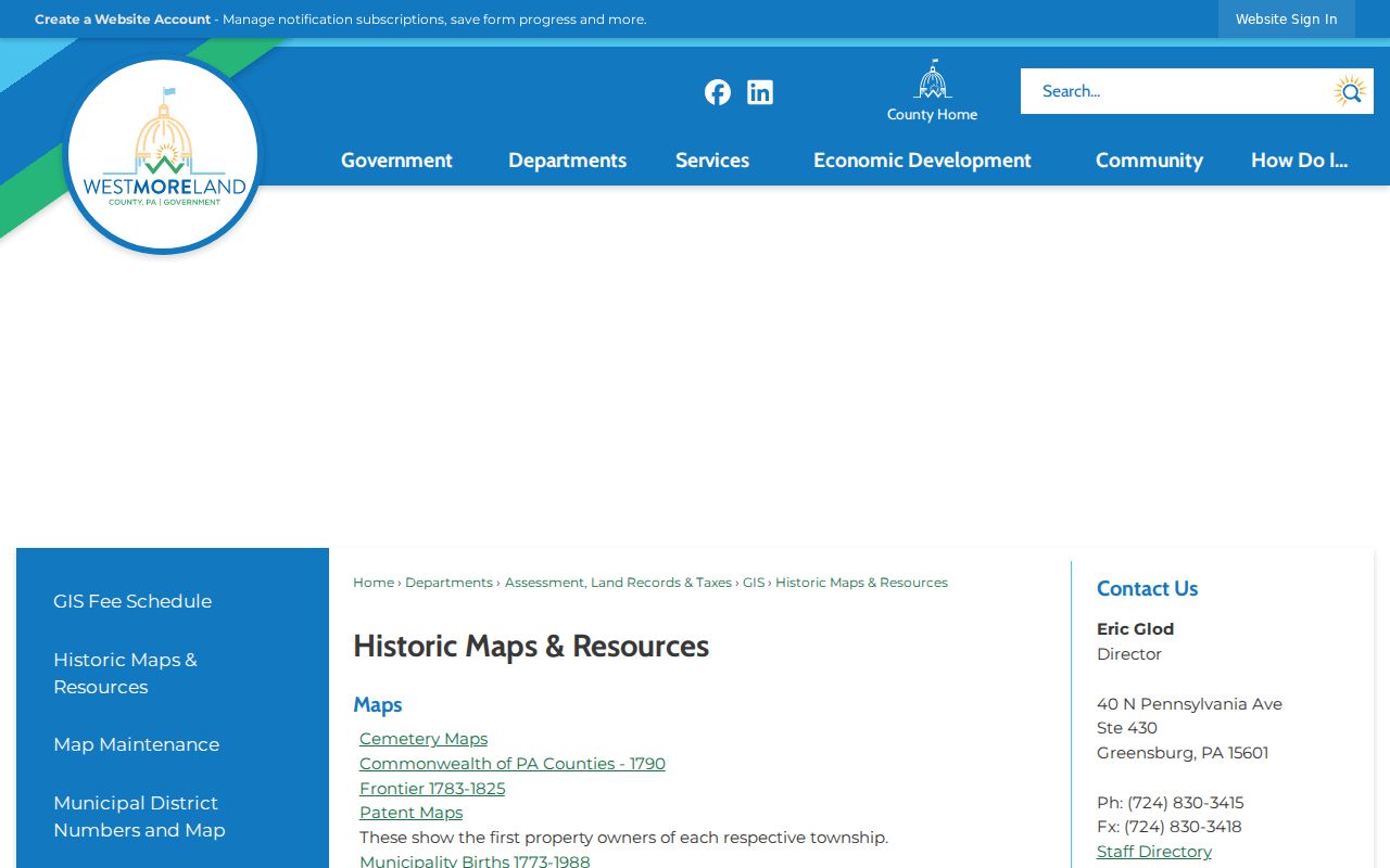
Patent maps, cemetery maps, a 1790 county map, frontier mapping for 1783 to 1825, and the municipality-birth map for 1773 to 1988 give geographic context for an older parcel trail. A former township or municipal identity may not line up with a modern mailing place, so map context belongs beside the legal description rather than replacing it.
Sanborn material is a town-level tool, not countywide coverage. Confirmed Library of Congress entries include Greensburg in December 1886 and December 1915, Greensburg from June 1925 to May 1943, Jeannette in October 1895 and July 1910, and New Kensington in May 1900. These maps can help date a street pattern or building footprint. They do not name every resident. Check the catalog and the particular town before relying on a map year.
Westmoreland County Previous Residents in Directories
Owners are only one part of an address history. GHAL's Pennsylvania Room holds Greensburg directories on microfilm from 1909 to 1959 and printed Greensburg volumes beginning in 1913 with intermittent coverage from 1927 to 1992. It also lists printed Greensburg and Latrobe directories from 2000 forward. Those are collection boundaries, not a promise that every town or every year is represented. Call 724-837-5620 to arrange Pennsylvania Room access and inspect the title page of a chosen volume for its exact scope.
Pair a directory year with the closest available census period. GHAL lists Westmoreland census microfilm for selected years from 1790 to 1880 and from 1900 to 1930, plus the 1950 U.S. census. The 1890 schedules are unavailable nationally. A useful sequence is an address in one directory, the adjacent available directory, the nearest census, then a deed or local death notice that can explain the transition. The historical volumes themselves have their own access details on the Westmoreland County city directory page.
- Write down the address exactly as printed, along with the volume year, title, page, and geographic scope.
- Compare the same surname or address in the nearest available directory volume rather than assuming annual coverage.
- Pair the interval with the closest listed census material, recognizing the 1890 gap.
- Use a deed, estate item, death notice, or historic map to test whether the property and household trail agree.
Westmoreland County Previous Residents Estate Endpoints
The county's Record Information page identifies the local record categories and coverage boundaries relevant to an address trail.
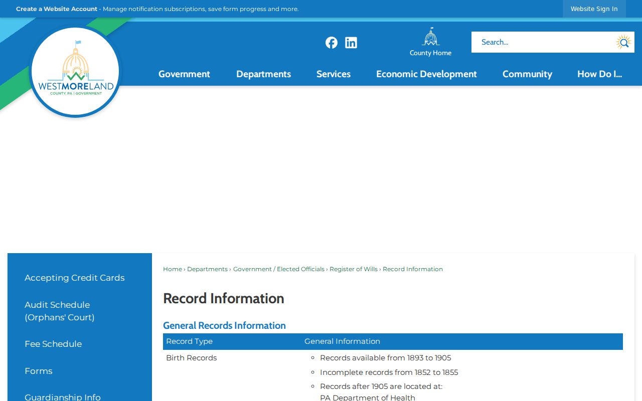
The Register of Wills and Clerk of Orphans' Court reports estates and Orphans' Court records from 1773 to the present, while the county public-records hub identifies its online estate coverage from 1986. A recorded deed after a death can be clearer when compared with the estate custodian's information, but a name match does not establish an heir relationship by itself. The office's search guidance says first and last name are required, and domicile can be useful without being required.
GHAL also lists death notices from 1866 to 1900, newspapers on microfilm, church and cemetery records, and local histories. The Westmoreland Historical Society's Pollins Memorial Library provides a separate research-room route and written genealogical research for people or families within present county boundaries from 1773 forward. Written requests use its form, not a telephone inquiry, and its stated turnaround is about six to eight weeks.
Westmoreland County Previous Residents Privacy
Address history is best kept to house history, family history, estate context, or a documented community story. A current owner record may not identify a person living at the parcel. Historic directories are intermittent and can omit a household. A mailing address can differ from a situs address. These limits are especially important when a record concerns a living person.
Pennsylvania's Address Confidentiality Program can provide qualifying participants with a substitute mailing address for specified records. RTKL exemptions also protect several personal identifiers and specified home-address information, while allowing a segregable public portion to be released after redaction. If a needed field is absent, contact the actual custodian and respect the record's access rules rather than trying to fill the gap from unrelated data.