
Westmoreland County Street Records, Step by Step
A street-by-street search in Westmoreland County begins with a parcel, not a household list. The Tax Assessment form searches the current tax duplicate by parcel number, owner name, or location. Its results are useful leads because the county refreshes the public duplicate only in late January and late June. A street result should be narrowed before it is treated as the right property. The free GIS map then makes the parcel, its 911 location, and nearby parcel lines easier to compare. From there, a deed index can explain recorded ownership, while local historical collections may supply a dated address clue.
- Enter the core street wording in Westmoreland County Real Property Search. Use a parcel number or an owner term as a second filter when the result list is broad.
- Open the same location in the Westmoreland County GIS Tax Mapping Site, select the parcel, and record the Parcel ID, UPI, map number, 911 address, and owner fields visible in the result.
- Compare the selected parcel with the surrounding polygons. Each polygon must be checked on its own because a nearby label is not proof that it belongs to the starting parcel.
- Use the owner, legal description, UPI, tax-map number, or deed reference to search the Recorder of Deeds Public Access index for recorded transfers.
- For an older address clue, ask the Greensburg Hempfield Area Library Pennsylvania Room about a relevant historical directory or criss-cross volume. Confirm an address entry with the parcel and deed trail.
Property ownership and physical occupancy are different questions. The sequence identifies records tied to land and may provide historical leads, but it does not make a street directory into a current household roster.
Westmoreland County Street Directory Search Fields
The public property form has a narrow, useful role in the Westmoreland County street directory. It searches the current tax duplicate, not a live ownership feed or a countywide street export. County instructions tell searchers to omit a directional prefix, suffix, and street designator when appropriate. Their example reduces North Goose Creek Boulevard to “Goose Creek.” A word that is genuinely part of the street name, such as West, remains. Pairing a surname with a street term can cut down a long result list.
| Field | Entry type | Required | County format guidance |
|---|---|---|---|
| Search By Parcel Number | Text | No, use one search route | Enter the parcel or map number. |
| Search By Name | Text | No | All or part of the last name; “Doe J” format, with no commas or periods. |
| Search by Location | Text | No | Use the core street name rather than a postalized full address. |
| Search | Button | Not applicable | Runs the submitted criteria. |
No ZIP-only field, municipality drop-down, date range, export, sort control, or result cap appeared in the inspected public form. Use it to move from an address to a parcel, then use GIS to test the location. That boundary matters when a street name repeats in different municipalities.
Note: The current tax duplicate refreshes twice yearly, so a recent transfer may require confirmation from the Recorder or Tax Assessment office.
Map a Westmoreland County Street in GIS
The county GIS viewer gives the Westmoreland County street directory its map layer. Its four documented parcel search routes are Address Contains, Owner Name Contains, Parcel ID contains, and UPI contains. Address and owner searches can take an additional municipality filter. The county illustrates contains-style entries such as “78 Laurel Dr,” “Jones Joseph,” a parcel form, and a UPI form. Because these are partial-match searches and results paginate, a returned row still needs map review before it is assigned to a street search.
The county’s public GIS application shows why map review comes before a deed search. The documented result list includes parcel number, owner name, and UPI. Selecting a result zooms to the parcel and can show Parcel Info, Assessment Info, 911 Address, and Links tabs. Fields described in the county quick-start include owner and co-owner, street number and name, city, ZIP, district, and identifiers. The viewer also has ZIP, school-district, floodplain, aerial, draw, and measure layers. Linked Property and Name Cards are subscription access, even though the map itself is free.
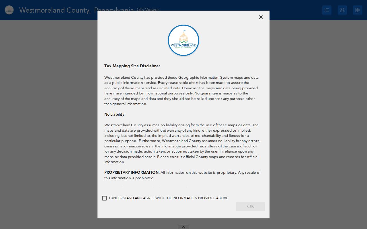
A selected parcel view turns a broad street search into a parcel-specific check, but the screen does not create a public list of every household on a road.
Westmoreland County Street Map Number Clues
A map number carries local context that a plain mailing label does not. In Westmoreland County, the early digits identify the district, later groups identify the tax-mapping pages, and the final three digits identify the circled parcel. The county’s repository-sale guidance adds two narrow suffix clues: 99 may denote a mobile-home-only interest, while 90 may denote coal rights only. Those suffixes describe the property interest, not a person or a current address.
Record both the map number and UPI when moving through the street directory workflow. They can keep a parcel trail together when a road name, mailing address, or municipality label changes. The GIS parcel view can also supply a legal-description clue for the next stage. A tax-map number should not be substituted for a postal address when checking delivery, and it cannot show who occupies the property.
Follow a Westmoreland County Street Into Deeds
Once a Westmoreland County street search has a parcel identifier or a likely owner, the Recorder’s index becomes the recorded-title route. The county reports online deed coverage from 1850 to present. The Recorder guide offers a default Name Search, Advanced/Legal filters, Instrument Search, and Archives Search. Name Search accepts a last and first name or organization name, with an optional date range. Advanced/Legal fields include category or document type, consideration, subdivision, lot, municipality, UPI, and tax-map number. The tax-map requirement applies only to records from 2009 forward.
For documents before November 13, 2000, use Book/Page rather than expecting a modern instrument number. The Archives function is the route for old books and plan books. Search spelling variants too: the Recorder describes the index as a library-card catalogue, which is a guide to a document rather than the document itself. A selected result can be opened for printing, email, or saving, but the party roles and legal description should be read before treating it as a full chain of title.
The Recorder Public Access screen is the entry point for those land-record searches. Its terms gate and account recommendation do not change the county’s advice to use alternative spellings and other criteria when a name search fails.
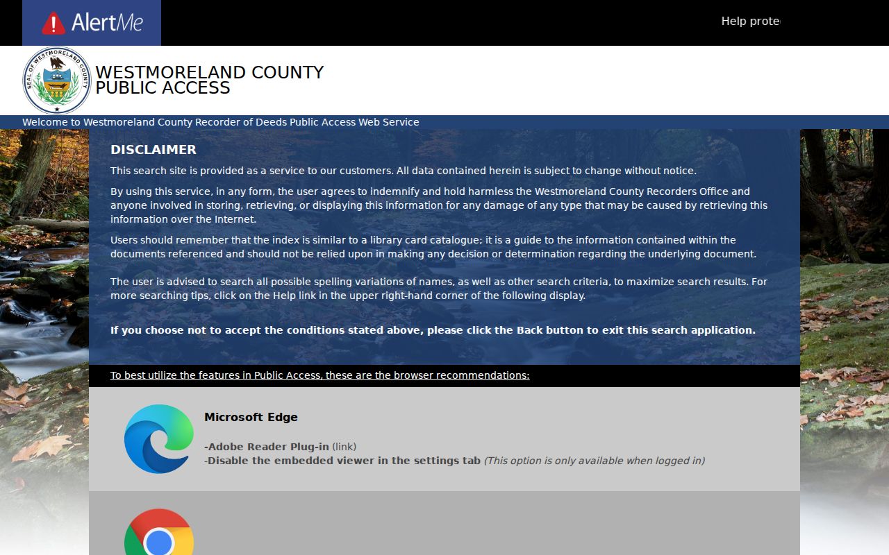
Use the parcel and legal-description trail to compare title records, rather than relying on a current mailing value for an older deed.
Westmoreland County Street Records and Access
Several records can be reached by address in Westmoreland County, but they do not answer the same question. The table separates the free map from paid cards, current assessment data from historic land instruments, and municipal permit trails from county systems. A missing field or a blank card is not proof that no related record exists. Use the office named in the row when the public interface does not carry the needed record.
| Address-keyed source | Responsible keeper | What it can show | Access boundary |
|---|---|---|---|
| Current tax duplicate | Tax Assessment | Parcel, owner, location, and current assessment lead | Free form, refreshed late January and late June |
| GIS parcel map | GIS Department | Parcel geometry, UPI, owner label, situs, and local layers | Free map; inspect selected polygons separately |
| Ownership and property cards | Assessment and GIS | More detailed cards and images | Subscription access, with a separate email-card route |
| Recorded deeds and plans | Recorder of Deeds | Parties, recorded documents, legal descriptions, Book/Page | 1850-present online coverage reported; research counter remains available |
| Tax claim material | Tax Office and Tax Claim Bureau | Current or delinquent tax context | Subscription inquiry noted by county; counter is a fallback |
| Building and demolition permits | Municipality | Construction or demolition evidence used by Assessment | No countywide permit search was verified |
Tax Assessment maintains and certifies assessments, while the Recorder keeps recorded land instruments. Their records meet around a parcel, but one does not replace the other in a Westmoreland County street directory search.
Westmoreland County Street Card Costs
The free GIS application is not the same product as the detailed ownership and property cards linked from its maps. County materials describe those cards as subscription-only. The separate Tax Assessment email route requires a $10 minimum account deposit, asks for a tax map number at taxcard@co.westmorelandcountypa.gov, is serviced daily, and prices requested cards at $0.25 per single-sided page. That path is a paid request channel, not a reason to treat the map as incomplete or to submit a broad request.
Recorder copy fees are separate. The county’s RTKL advisement lists Recorder copies under 42 P.S. § 21051 at $0.50 per uncertified page and $1.50 per certified page. Recording-fee figures are not copy prices and do not guarantee an image cost for a historic record. If an online index or a subscription boundary leaves a specific gap, the Recorder’s appointment research floor, Tax Assessment, and the appropriate municipal office are better fallbacks than guessing from an on-screen label.
Westmoreland County Street Address Keys
A Westmoreland County street directory needs four address concepts kept apart. The county 911 FAQ says that the civic value, postal value, mailing value, and tax-billing value can differ. A legal description is a further land-record key. Start with the 911 or situs value to locate the parcel, but keep the legal description close when reading older title records. A taxpayer mailing address is a contact value associated with the record, not evidence of physical occupancy.
- Parcel
- A mapped unit of taxable property identified by a parcel number, map number, or UPI.
- Situs address
- The physical 911 or civic location of a parcel, used to place it on the ground.
- Plat
- A recorded plan or map that can identify lots, subdivisions, and their relationship to a legal description.
- Criss-cross directory
- A historical directory organized by address rather than name. Ask a repository whether a specific year or locality has one.
Address creation and changes move from the municipality to the county Department of Public Safety/911. That local process is one reason a current postal label can be a weak key for an older land record.
Westmoreland County Street Voter Boundaries
Pennsylvania’s personal voter-registration-status route is not a public Westmoreland County street directory and should not be repurposed into one. The proper public-information-list process is controlled by Election Code section 1404, 25 P.S. § 1404. It requires identification and a written statement of intended use, protects the digitized signature and SURE number, and limits the published use of voter information to elections, political activities, or law enforcement. The request form offers a county selection and specific list types, including a street list and walking list.
Request the applicable list from the election process, follow its use statement, and do not infer voter presence from land ownership. Substitute addresses may be used by participants in Pennsylvania’s Address Confidentiality Program. The state status form can help an individual check personal registration, but it is not evidence about other people on a street.
Westmoreland County Street Permit Fallbacks
Westmoreland County has 65 municipalities, and its Planning FAQ says building permits are handled locally. A municipality may use its own office, a contracted inspection company, or the Pennsylvania Department of Labor & Industry. There is no verified countywide permit-name search. After GIS identifies the municipality for a street address, contact that municipal clerk or inspection office about a specific permit or code record and its access method.
That local boundary is also why the county map is a useful first check. It ties the address to the municipality before a permit request is directed to the wrong custodian. A permit record can show work or demolition evidence, but it does not prove the current occupants of a property.
Note: Municipal zoning and permit systems vary across Westmoreland County, so the municipality identified through GIS controls the next records contact.
Westmoreland County Street History Sources
Historical address work has a narrower footprint than the modern property search. The Greensburg Hempfield Area Library Pennsylvania Room holds Greensburg city directories on microfilm from 1909 through 1959, printed Greensburg directories beginning in 1913 with intermittent 1927 through 1992 coverage, and Greensburg and Latrobe print directories from 2000 forward. Those runs do not establish a countywide reverse directory. Ask the Pennsylvania Room to identify a criss-cross volume for the desired year rather than assuming one exists.
Directory entries are dated leads, not proof of a present resident. Pair them with the parcel trail, county historic maps, and census material. For the collections themselves and how to read their intermittent coverage, use the Westmoreland County city directory collections. That historical route is especially helpful when an older title description no longer matches a modern street label.
Limits of Westmoreland County Street Records
No official county tool was found that exports every household on a Westmoreland County street. Parcel and deed records identify land-related parties and places. They do not identify every household member, utility customer, driver, protected voter, or protected-address participant. The county’s public tax duplicate is also only refreshed twice a year, so even an owner field should be verified through its custodian for a time-sensitive question.
When a public search reaches a dead end, use the source-specific fallback. Call or visit Tax Assessment for its records, use the Recorder’s appointment research access for land instruments, contact the municipality for permits, or ask a local history repository about older directories. A specific request under the Pennsylvania Right-to-Know Law can be sent to the county through its published mail, fax, email, in-person, or online routes when the record belongs to a county agency and is covered by that law.