
Westmoreland County ZIP Directory Coverage
The authoritative spatial list for this Westmoreland County ZIP code directory comes from an intersection of the Pennsylvania DEP ZIP-polygon layer and the county-boundary layer. The source calls the second column a postal-community label. It does not make that label a municipal boundary or a promise that one post office serves every address in the polygon. The compact rows below are examples from the verified county-intersecting list. The official DEP ZIP-polygon layer and its county-boundary counterpart carry the complete spatial coverage.
| ZIP | Areas Covered | Post Office | Notes |
|---|---|---|---|
| 15601 | Westmoreland County-intersecting polygon labeled Greensburg | Greensburg postal-community label | Postal label, not a county-office boundary |
| 15610, 15611, 15612, 15613 | Acme, Adamsburg, Alverton, and Apollo labeled county-intersecting polygons | Use USPS for a particular delivery address | Individual labels do not define municipal limits |
| 15626, 15627, 15628 | Delmont, Derry, and Donegal labeled county-intersecting polygons | Use USPS for a particular delivery address | Parcel and municipality still control local records |
| 15642, 15644, 15650 | Irwin, Jeannette, and Latrobe labeled county-intersecting polygons | Use USPS for a particular delivery address | Postal community is not proof of a city boundary |
| 15658, 15666, 15668 | Ligonier, Mount Pleasant, and Murrysville labeled county-intersecting polygons | Use USPS for a particular delivery address | Check the selected parcel and municipality |
| 15690, 15692, 15697 | Vandergrift, Westmoreland City, and Youngwood labeled county-intersecting polygons | Use USPS for a particular delivery address | Boundary-zone ZIPs can extend beyond the county |
The full verified list also includes codes whose polygons touch neighboring counties, from Belle Vernon and Monessen-area labels to Johnstown, Somerset, Freeport, and other edge-area labels. A ZIP can therefore be useful for delivery geography while still being too broad to choose a municipal clerk, tax collector, or public-records office.
Verify a Westmoreland County ZIP With USPS
For one deliverable address, the final postal check is the USPS ZIP Code Lookup. Its inspected routes cover an address, a city and state, and cities by ZIP Code. USPS can validate postal delivery information. It does not confirm a person, company, ownership, or who is currently associated with the address. Keep the result in that narrow postal role before moving to county GIS or an office record.
| USPS route | What to enter | Useful result |
|---|---|---|
| Address lookup | Street address with city and state | Checks the postal ZIP for a specific delivery location |
| City and state route | Postal city and state | Finds ZIP options tied to that postal geography |
| Cities by ZIP | A ZIP | Returns postal city information, not a resident list |
The official USPS lookup is shown in the source image below. It is the postal confirmation stage, after which a selected county parcel can establish the municipality and record system that applies.
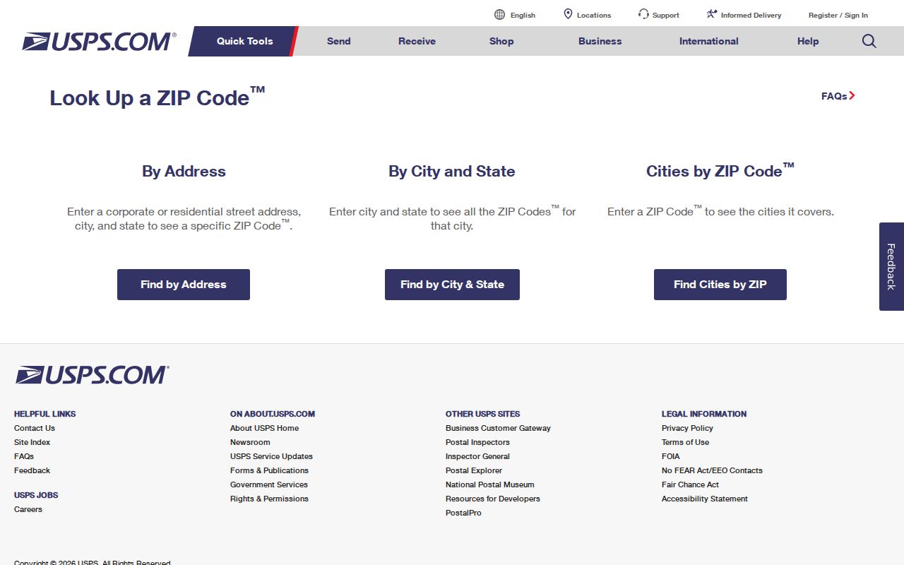
A USPS result settles a delivery question for the entered address. It does not settle ownership, occupancy, or legal jurisdiction.
Westmoreland County Postal Polygons
The Pennsylvania DEP spatial layers explain why a Westmoreland County postal ZIP must be checked against a parcel. The ZIP layer maps delivery-zone polygons, while the county-boundary layer outlines the government jurisdiction. Their intersection provides the project’s complete list of ZIP polygons that touch Westmoreland County. The list is more reliable for broad map coverage than an old local routing list, but it is still not an address-level delivery decision.
The DEP ZIP-polygon service is the visual source for that postal geography. The county’s own GIS supplies the parcel and municipality check that must follow.
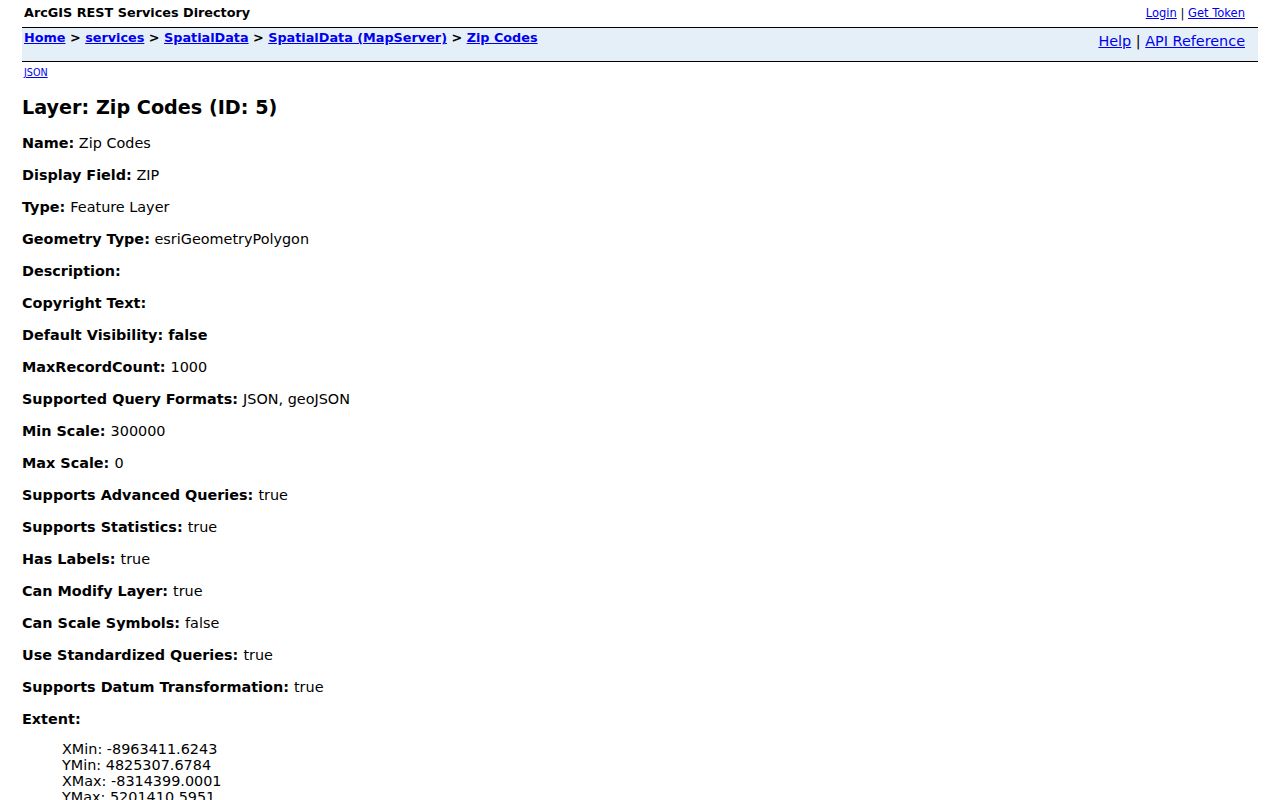
The polygon layer helps locate a ZIP zone’s overlap with the county, not the exact delivery status of a particular home.
Match a Westmoreland County ZIP to a Parcel
County GIS has the ZIP context that the Real Property Search form lacks. In the GIS viewer, use Address Contains and, when helpful, the municipality filter to locate a specific address. Selecting the result can display the parcel ID, owner and co-owner fields, UPI, street address, city, state, ZIP, ZIP suffix, district, municipality, and legal-description data where populated. The viewer also includes a ZIP layer, alongside other layers such as school districts and floodplains.
A result is a contains match and can paginate, so compare the selected polygon with the address before taking its ZIP or municipality as the right one. The county map is free. Linked Property and Name Cards are subscription-only, a distinction that matters when an address search reaches a card link. Use the map to connect delivery geography to a parcel, not to create a ZIP-wide owner list.
The Pennsylvania DEP county-boundary service is the second source used with the ZIP layer. It makes the county edge visible where a postal polygon continues into another jurisdiction.
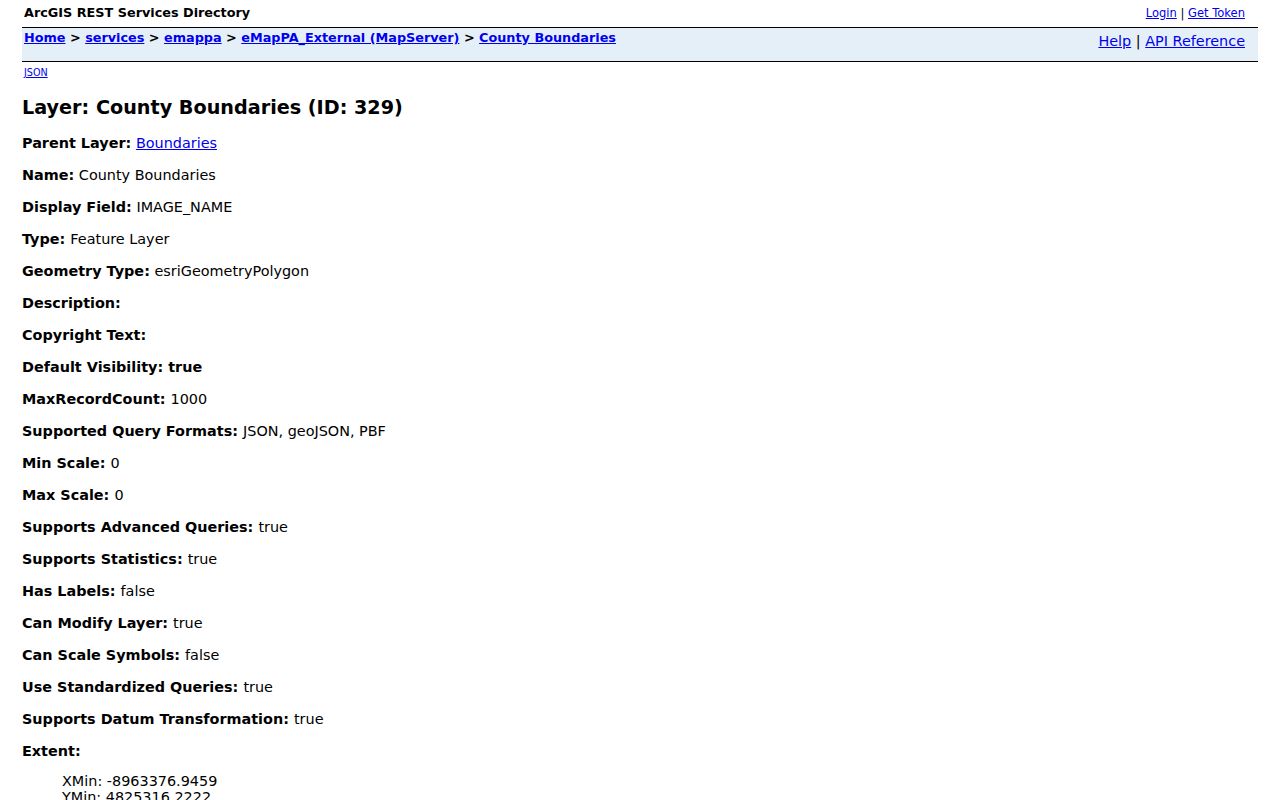
Viewing both layers together is a boundary check. The county parcel and municipality must still be selected for an address-specific records decision.
No Westmoreland County ZIP-Wide Owner Search
The public Westmoreland County Real Property Search has parcel-number, owner-name, and location routes. The inspected form has no ZIP-only control, municipality drop-down, export option, date range, sort selector, or public result cap. No verified ZIP-wide owner search exists in that form. A postal ZIP can narrow a map review after a parcel has been found, but it cannot be entered as a countywide ownership filter.
| County field | How it works | ZIP use |
|---|---|---|
| Search By Parcel Number | Searches a parcel or map number in the current tax duplicate. | No separate ZIP filter |
| Search By Name | Accepts all or part of an owner’s last name and can be combined with location. | No separate ZIP filter |
| Search by Location | Uses the core street name, without directional or street-designator wording where county instructions say to omit it. | No separate ZIP filter |
Use location, parcel, or owner information to find a specific property, then verify the selected parcel in GIS. The public duplicate is refreshed only late January and late June, so it is not a same-day ownership report. County Tax Assessment and the Recorder of Deeds remain the appropriate custodians when a specific record needs confirmation.
Note: A postal ZIP is a useful location clue, but the county’s public property form does not convert it into an owner directory.
Find Within a Westmoreland County ZIP
A ZIP-focused search is most accurate when it moves from delivery validation to a selected parcel, then to the relevant county or municipal record. That process avoids using a broad postal zone as if it were a municipal boundary. It also respects the fact that the assessed-property form is address-, owner-, and parcel-based rather than ZIP-based.
- Use USPS to verify the ZIP for the known delivery address, or to identify the postal city choices for a known ZIP.
- Open the county GIS viewer, use Address Contains, and add the municipality filter if the address result needs narrowing.
- Select the parcel and record the 911 address, municipality, Parcel ID, UPI, and ZIP fields shown by the map.
- Use Real Property Search for the parcel, location, or owner route. Treat the current tax duplicate as a current assessment lead, not a ZIP-wide record set.
- When the question turns to a named road or adjacent parcels, continue with the Westmoreland County street directory workflow rather than widening a postal search.
For permits or local code records, the municipality identified by GIS matters more than the ZIP. Westmoreland County’s Planning FAQ says permits are local, with no verified countywide permit-name search.
Westmoreland County Postal Field Limits
ZIP is visible in the county GIS parcel result, but it is not the master key for every record. The map may show a street address, ZIP suffix, district, municipality, UPI, assessment fields, and deed references where populated. Those fields have different origins and update cycles. A postal correction does not necessarily change a legal description, and a current mailing value does not establish the civic location of the parcel.
When a county record does not match USPS, start by comparing the civic address and municipality in GIS with the delivery address in USPS. Then contact the custodian that created the disputed record. The county 911 process works through the municipality, which submits address creation and change work to the Department of Public Safety/911. The public property form cannot resolve all of those distinctions by itself.
Westmoreland County ZIP Terms
Postal and parcel records use related terms with different jobs. Keeping them distinct makes a Westmoreland County ZIP code directory more useful for a real address check and less likely to overstate what a result means. The DEP polygon source did not identify a PO-box-only or unique institutional ZIP, and it cannot prove their absence. Verify any such claim with USPS before applying it to an address.
- ZIP
- A USPS delivery geography. It can cross a municipality, county line, or other government boundary.
- ZIP+4
- An added four-digit delivery detail used with a ZIP for more precise mail routing.
- PO box ZIP
- A ZIP assigned for post-office-box delivery. No such Westmoreland County type was established by the polygon source.
- Carrier route
- A mail-delivery grouping used for routing. It is not a parcel boundary or a public household roll.
Westmoreland County ZIP Boundary Mismatches
USPS delivery areas, Census ZIP Code Tabulation Areas, county lines, city labels, and municipal boundaries are different geographies. Census ZCTAs approximate ZIP delivery areas for statistical mapping, while ZIPs remain USPS delivery constructs. A postal community label such as Greensburg or Latrobe can help address mail without deciding whether an address lies inside a city or which municipal office holds a permit record.
For land records, separate the site or situs address from the postal, mailing, tax-billing, and legal-description keys. The county’s 911 FAQ says postal, mailing, and tax-billing addresses can differ from the 911 address. A legal description follows the recorded land, while the tax-billing address identifies where the bill is sent. Neither one alone proves present occupancy.
Westmoreland County ZIP and Municipal Geography
Westmoreland County has 65 municipalities across roughly 1,000 square miles. That countywide structure explains why postal area names and local record routes can diverge. County GIS, Tax Assessment, the Recorder, and the Election Bureau serve county functions, but permits, zoning, and address actions may pass through a municipality. A rural or edge-area ZIP therefore needs the parcel and municipal check before a request goes to a local office.
That same geography affects older records. County historic maps, patent maps, cemetery maps, and municipality-birth mapping can help align a historic place name with a present parcel. A ZIP is not the best bridge for that task because it reflects postal delivery instead of the legal or historical boundary used by the older record.